I was recently on vacation down in Portland and was asked to show my ID during a credit card transaction.
After seeing that I was from Alaska, she said, “You know, I’ve always wanted to make it up there with my parents, but my dad hates flying and my mom gets seasick. I wish we could just drive up.”
My response was much too short since there was a line of people behind me and I wanted to get back to the hotel before dark, but thankfully, that isn’t a problem here and I can give you the full and complete response.
Can You Drive from Florida to Alaska?
Absolutely you can! Now, granted, you can’t drive to every city in Alaska, as many are on islands or otherwise have no road access, like Juneau, the state’s capital.
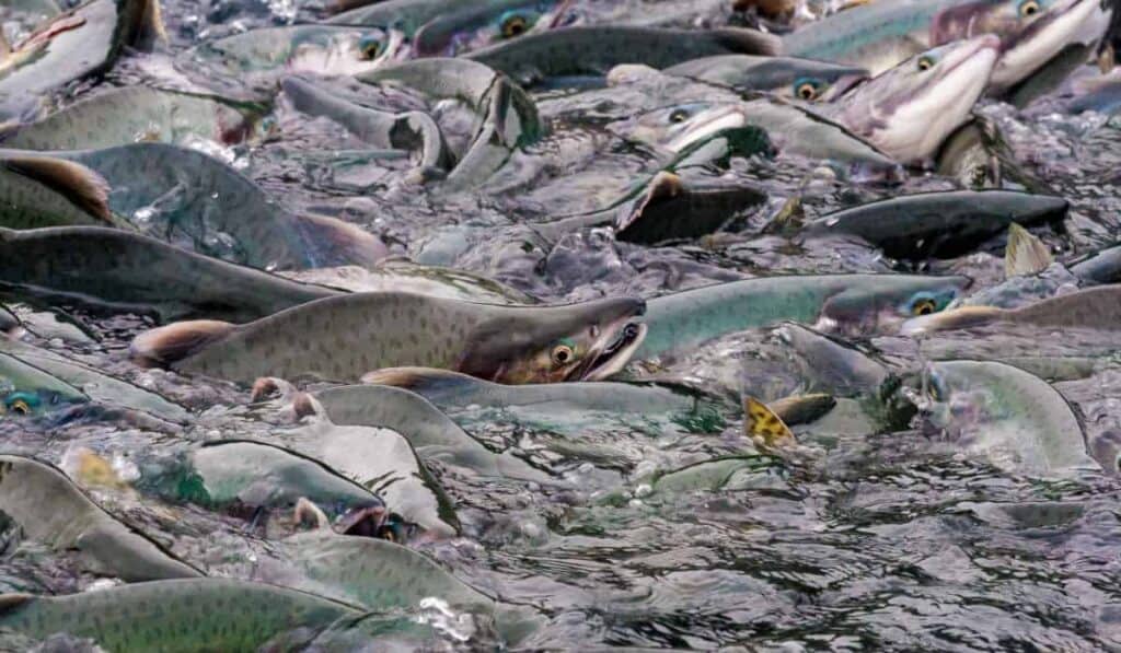
However, the Alaska Marine Highway Ferry System does allow you to take a vehicle or even a bicycle onto the boat and will take you to almost any community you’d like to visit in Southeast Alaska.
There are options, however, for driving to Anchorage, Fairbanks, Skagway, Hyder, and many other cities within the state.
We’ll use Florida as our starting point since it’s the farthest away you can get. Specifically, I’m going with Tallahassee because it’s in the panhandle.
Best Routes
Part I: Tallahassee Florida to Fort Worth, Texas
The first segment on our route is an east-to-west route since it’ll be easier than driving diagonally across the US, although I suppose you could do that as well.
This will be the most frantic portion of the journey, as it’s mainly on the Interstate Highway System. I’m not a big of freeways because even though I like getting to my destination faster, they also make me terribly nervous.
From Tallahassee, take I-10 West, then I-65/US Route 98, then finally I-30 will take you to Fort Worth. This is around 900 miles, depending on where in Tallahassee you start.
I skipped a few steps there, but because of potential road construction and detours, I recommend using GPS software during the drive, either Apple Maps, Google Maps, or an app like Waze.
If you don’t prefer interstates, there are several US and state highways you can take instead. The important part is getting to Fort Worth from Tallahassee.
Part II: US Highway 287
The route I chose specifically includes the entirety of US Highway 287 for several reasons.
I like it because it’s not an interstate, so there are fewer 18-wheel trucks and other drivers traveling 75 miles per hour around you.
Second, it’s probably the second-most famous highway in the United States behind Route 66. Perhaps third, if you want to count “life” as a highway, like the famous Tom Cochrane song.
It also gives you a great opportunity to visit Yellowstone National Park, which offers camping, great views, and Old Faithful, a geyser that erupts nearly every hour and ten minutes.
The route also works because it covers nearly the entire south-to-north portion of the drive through the United States, as it runs from Port Arthur, Texas, to Choteau, Montana, 100 miles south of the Canadian border.
This route’s portion of 287 runs about 1,500 miles or three days, depending on how long you’d like to stay in Yellowstone National Park.
Part Three: Montana to Seattle to British Columbia
This is the easiest and fastest portion of the trip, as well as the most straightforward. Just a few miles before US Highway 287 ends in Choteau, it runs through Helena, Montana.
From Helena, take I-90 West to Seattle. It’s just under 600 miles, but it’s Interstate all the way, so you should be able to get it done in less than six hours.
Once you reach Seattle, head north to the Canadian border. After passing through customs, you’ll arrive in the Canadian province of British Columbia.
Once you get to Canada, there are two options for roads to Alaska: The Stewart Cassiar Highway and the Alaska-Canadian Highway.
What are the Differences Between the Cassiar and the Alaska Highway?
The Alaska Highway, also known as the Alaska-Canadian Highway or the AlCan, and the Stewart Cassiar Highway serve mostly the same purpose and travel along similar stretches of Canada.
There are three main differences between the two highways and you’ll have to decide which one you choose.
First, the Alaska Highway is better maintained than the Stewart Cassiar, which has a few sections that have, to be polite, seen better days. That’s not to say that the Cassiar is dangerous or shouldn’t be driven on, however.
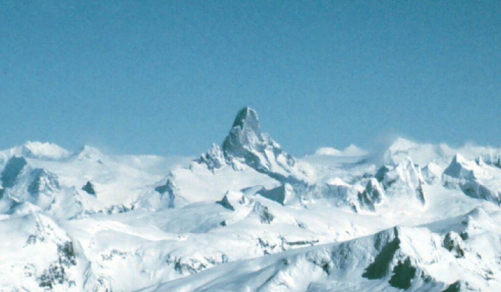
Second, the Cassiar Highway is shorter and more scenic. It offers many great viewing points for wildlife, including black bears, which often appear in the spring.
The Alaska-Canada Highway is longer, but offers more services and gas stations, although it does also offer some amazing views as well.
Finally, the Stewart-Cassiar Highway gets you closer to Hyder, Alaska. The “Stewart” part of the name refers to Stewart, British Columbia, which is two miles away from Hyder.
For those looking for a quicker journey into Alaska, Hyder is one of the few Southeast Alaska communities accessible by road, although only from British Columbia.
Part Four: Getting to Alaska
Since I’ve just mentioned Hyder, I need to back up and say that there are three points of access to Alaska from Canada, which serve three different purposes and allow visitors to choose which one best serves their needs.
As mentioned, Hyder is the southernmost of the three options, which lies just a little short of 1,000 miles from Seattle.
Visitors who just want to say they drove to Alaska, want to view bears at the Forest Service viewing platform north of town and those with a limited amount of time might choose Hyder for the convenience factor.
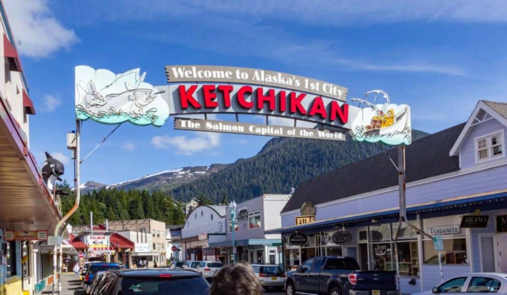
Border crossing number two is a few miles outside of Skagway, which is just a tick over 1,600 miles from Seattle.
This is the perfect choice for a visit to Southeast Alaska, as the Alaska Marine Highway System ferry docks downtown Skagway and offers service to over a dozen cities in Southeast Alaska.
Most importantly, it also offers ferry service to Prince Rupert, British Columbia, or Bellingham, Washington for visitors who would prefer to take a few days off from driving and enjoy the sights during the three or four-day ride to Washington.
The final access point is through the interior, at the Alcan Junction/Beaver Creek Border Crossing, which lies 1,860 miles (taking the Cassiar shortcut) or 2,062 miles strictly via the Alaska-Canadian Highway from Seattle.
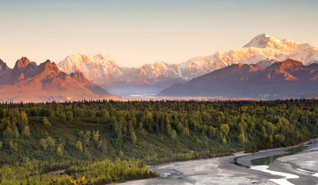
This is the perfect crossing for visitors wishing to see Anchorage, the state’s largest city, or Fairbanks, which is a prime location to view the Northern Lights.
How Long Will All This Take?
The journey from Florida to Alaska can definitely be done, although I recommend having a good car that won’t break down on the Cassiar Highway 50 miles from the nearest service station.
How long it takes is a tricky question to answer, however, because it depends on how long you want to spend in various locations, whether you want to stop by Yellowstone, which port of entry into the US you want, and how many miles you want to drive per day.
As for the length of the trip in miles, that’s a bit easier to figure out. The first portion, Tallahassee to Seattle, is about 3,000 miles. If you drove for 10 hours a day averaging 60 miles per hour, you’d arrive in five days.
For the Seattle to Alaska portion, it’s about 1,000 miles to Hyder, 1,600 to Skagway, or 2,000 to the interior, plus nearly 300 miles to Fairbanks or 400 to Anchorage.
Using our 60 mph for 10 hours estimate from earlier, that gives us about two days to Hyder, three days to Skagway, or four days to Anchorage to Fairbanks.
You could reasonably drive from Tallahassee, Florida, to Anchorage, Alaska, in about nine days.
If you spent three days in Anchorage and took nine to return to Tallahassee, you could be back in about three weeks. If you’d prefer a shorter trip, Tallahassee to Hyder can be done in only two weeks.
No matter which route you take or how long you stay, Alaska will give you amazing views and a great experience!
Devils Thumb, Alaska – Exploring The Unclimbable Mountain
What To Do In Ketchikan In One Day (Perfect 2025 Itinerary)
Is There Still Free Land In Alaska? (Homesteading In 2025)

13 Edible Mushrooms In Alaska (With Foraging Pictures)
The 10 Best Things To Do In Yakutat, Alaska